
Lawton Neighbors Record Sources
Records around a Lawton address describe different things. The assessor and map are the entry point for the parcel. County land records connect that parcel’s legal description to instruments. Neighborhood and city resources can show an organization, a public board, or an address-keyed city case. None of those sources establishes everyone who occupies a house. Keep the question narrow: parcel ownership, a recorded transfer, a community contact, or a specific municipal file.
| Source | What It Shows About a Block | Access |
|---|---|---|
| Comanche Assessor and map | Advertised property and map-to-parcel route for the starting parcel and nearby geography | Free access is advertised; the actDataScout interfaces returned HTTP 403 during inspection |
| County Clerk land index | Recorded grantors, grantees, dates, instruments, and legal descriptions | OKCountyRecords from March 1987; older books at the courthouse |
| Voter record | Individual registration information when the exact name and date of birth are known | One-person portal, not a public block browse |
| Neighborhood Services | Specific nuisance or administrative file tied to an address and tax-roll owner notice | Request a particular address file from the department or City Clerk |
| Association and city boards | Governance, civic contacts, meeting records, or public affiliations | Official association or city resource, not a resident roster |
A property owner’s tax-mailing address can differ from the situs address, the physical location of the parcel. A tax bill can go to a post office box, business, trustee, or a different city. That makes ownership and personal occupancy separate questions from the start.
Lawton Neighbors Start With a Parcel
The defensible process is short and address-led. The county advertises a property search and interactive map through actDataScout, but the inspected property and map endpoints returned HTTP 403. The live field list, layers, and adjacent-parcel controls were not available to verify. Use the assessor counter to confirm those functions if the online route fails, and do not substitute a generic map tool for the county record.
- Enter the Lawton street address through the county’s advertised property-search route or ask the assessor counter to identify the parcel.
- Record the situs address, parcel or account reference if provided, and the legal description that identifies the land.
- Use the map only to identify parcels that immediately touch or face the starting parcel, subject to counter confirmation of the live map display.
- Carry each legal description or owner name to the County Clerk land index, then compare the instrument details.
- Verify an adjoining parcel’s record with the County Clerk rather than inferring adjacency from a street name or a mailing label.
That flow is address to parcel to legal description to adjacent parcel to County Clerk verification. It stays focused on the immediate block. A longer chain along a named street belongs in the Lawton by-street directory, where recorded land trails can be followed more broadly.
Lawton Neighbor Parcel Checks
A parcel is a defined tract in the assessor and land-record system. Its legal description, such as a subdivision addition with block and lot or a quarter-section description, is more stable than a street label. The County Clerk’s records support both structured quarter, section, township, and range searching and subdivision, block, and lot searching. That is useful when a road edge, alley, or address format makes a map view unclear.
The county’s land index is public, with indexed data and images from March 1987 and new records added in real time. Its basic search accepts a person or business name, while advanced fields include recorded dates, instrument number, legal description, and structured legal-description elements. An image or printed copy can have separate access or payment conditions. The free index does not turn a document image into a certified record.
- Parcel
- A defined tract tracked for assessment and tax purposes.
- Situs address
- The physical location of the land or building, distinct from where tax notices are mailed.
- Legal description
- The lot, block, addition, or survey-based wording that identifies land in a recorded instrument.
- Adjacent parcel
- A parcel that directly borders or is geographically immediate to the starting tract, subject to map and legal-description confirmation.
Lawton Clerk Verification
For a known parcel, search the current owner as grantee in the County Clerk index, inspect the purchase instrument, and compare its legal description with the parcel. The grantor is the seller or transferring party; the grantee is the recipient. If a name belongs to a trust or entity, search the trustee, manager, and named individuals separately. A mortgage, release, or lien is a date or status clue, not necessarily a transfer of ownership.
The March 1987 online line matters. Earlier books and indexes require a courthouse follow-up using the legal description and grantor-grantee indexes. The County Clerk handles land records, while the Court Clerk handles court files. Separating those custodians prevents a property question from being sent to the wrong office.
Note: A legal description confirms the land in an instrument more reliably than a matching street name, especially when a subdivision or street label changes.
A Lawton Block Is Not a Household Roster
A block is not a household roster. Recorded owners may live elsewhere, and renters, family members, and other occupants may not appear in property instruments or tax records. Utility customer names and driver-record addresses are not open block-search material. A permit applicant or the recipient of a tax notice may be a contractor, agent, owner, or trustee rather than a current resident.
| Official record trail | Commercial search category |
|---|---|
| Identifies a narrow recorded fact, such as ownership, a deed, or an individual registration record. | May combine public extracts, marketing data, old addresses, and user-supplied information. |
| Points to a named public custodian for the underlying record. | May merge people with similar names or lag changes in an address record. |
| Can be checked against the source document, case number, or legal description. | Should never replace independent official verification for a specific fact. |
For neighbor questions, use a commercial category only as an unverified lead, if at all. An official parcel or clerk record is more authoritative for the limited fact it actually records. Neither proves a current household composition.
Lawton Voter Records for Neighbor Questions
The OK Voter Portal requires an exact registered name and date of birth. It can verify an individual registration and provide access to listed voter services, but it does not offer a public block browse. Public voter data may include voter ID, precinct, districts, municipality, county, registration date, and election date or method. It excludes phone numbers, Social Security numbers, driver-license or state-ID numbers, application source, and ballot choices.
Oklahoma’s Election Data Warehouse route is a different, authorization-controlled bulk process under 26 O.S. § 7-103.2. Its request form requires legal eligibility and attestations. It is not a workaround for the individual portal. Restricted Records and Address Confidentiality Program participants can be absent from public voter records, so a missing result is not proof that a nearby person has no registration.
Keep the evidence narrow. Use voter information to confirm an individual registration record, never to claim a complete list of people on a Lawton block.
Lawton Association Contacts for a Block
Community resources can explain the governance layer around an address, but they do not publish a general membership list. Eastlake’s material identifies the Eastlake Addition and Eastlake Villas nonprofit association in Lawton 73507. Its covenants and bylaws describe governance and common-area ownership. They support an association contact, not a conclusion about who belongs to a household.
The Eastlake association’s covenants page is the source for the recorded governance material shown here.
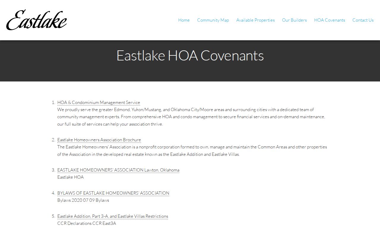
Use the published contact for association matters, while recognizing that the page does not provide a public roster of Eastlake residents.
Eastlake Homeowners Association
Eastlake Addition and Eastlake Villas
Lawton, OK 73507
580-351-8055
Lawton public civic resources
City boards include the Highland Cemetery Board and Lawton Heritage Association. Their public roles and meeting material are civic resources, not neighborhood rosters.
The Lawton boards and committees inventory identifies those civic bodies and their public-facing structure.
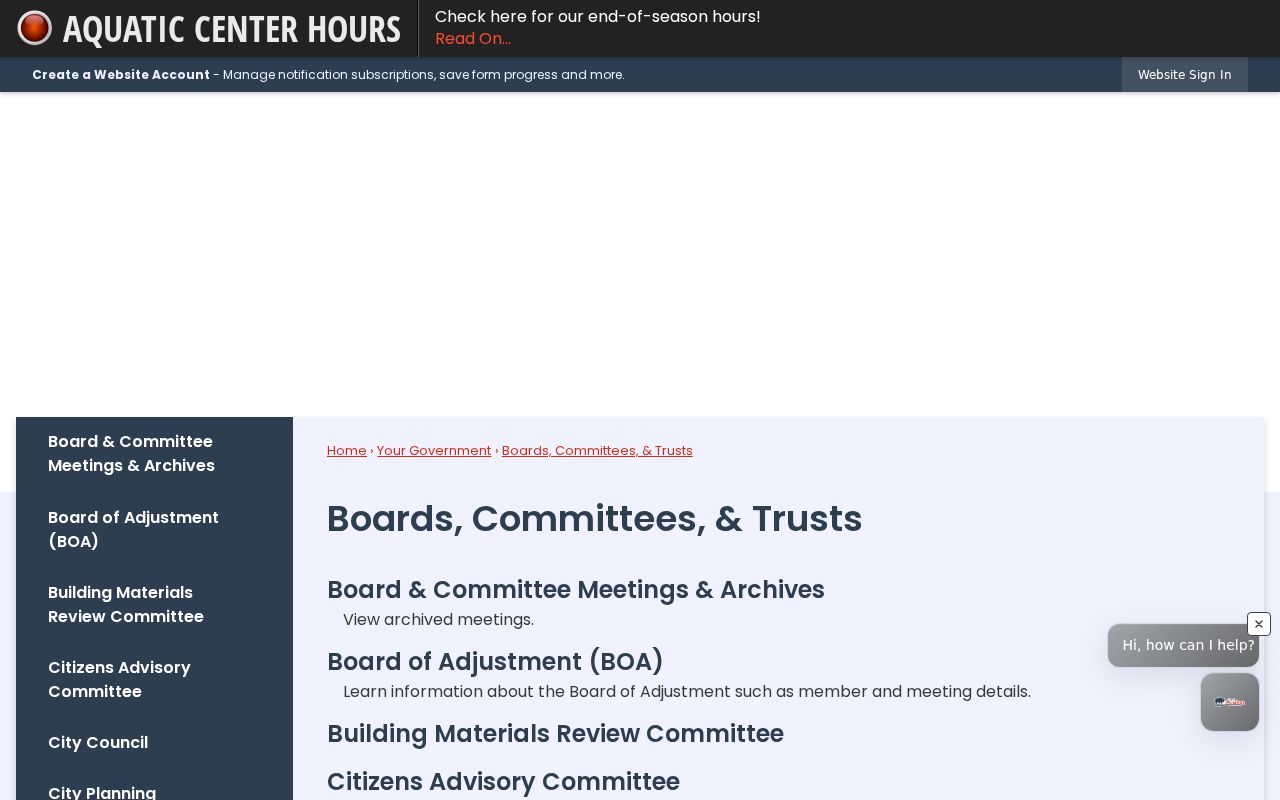
Board membership or a public agenda can establish a civic affiliation, but it does not confirm a current home address or identify all neighbors nearby.
Lawton Address Case Records
Lawton Safe and Clean Neighborhood Services keeps address-keyed nuisance and administrative work. A requested file may contain a complaint date, inspection notes, photographs, legal notice, correction period, abatement cost, citation, or lien. The office investigates on site and, after a confirmed violation, posts and mails notice to the owner using the Comanche County Treasurer’s tax roll.
The Neighborhood Services page documents this address-based process. Request a specific address file from the department or use the City Clerk request route. An administrative order is generally valid for 12 months, voluntary correction is generally requested in 10 days, and urgent hazards are prioritized within 24 hours.
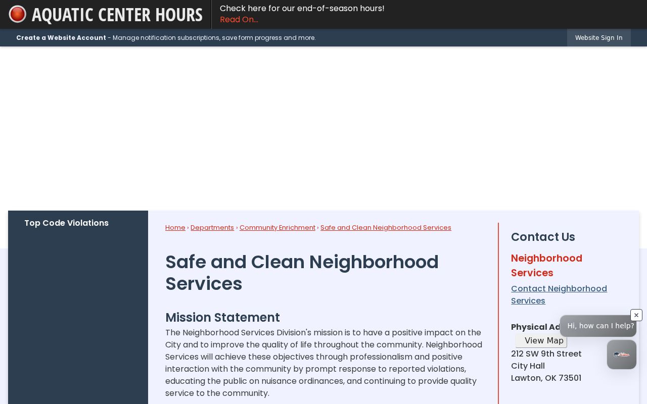
A mailed notice can help identify the tax-roll owner, but it does not prove that the owner or any named person lives at the situs address. A case file also does not establish that every complaint was a violation.
Lawton Block Boundary Layers
A nearby address can sit in more than one geography at once: a city label, a Comanche County parcel, a postal ZIP, a ward, or the Fort Sill installation context. Lawton expanded through annexations in 1966 and annexed neighboring Fort Sill on June 23, 1998. Those changes explain why city, county, and postal labels may not match a historic or current record.
Use the legal description and parcel for land research, not only the ZIP or city name. The City Clerk’s corporate-boundaries map is the official public-inspection bridge for annexation, official street names, dedicated streets, alleys, and vacated streets. It is particularly useful when a familiar neighborhood label does not settle which government record keeper applies.
Lawton Neighbors Privacy Limits
The Address Confidentiality Program protects eligible Oklahomans who need a substitute address for safety. Program participants use confidential state and local records treatment, and their names and addresses are withheld from public voter lists. Restricted voter records under 26 O.S. § 4-115.2 have separate protection and do not expire. A missing public record can be a privacy safeguard, not an absence.
The Oklahoma Open Records Act permits access to many existing public records but does not require an agency to create a custom neighbor list. Send a precise request to the actual custodian, such as the County Clerk for recorded land instruments or Neighborhood Services for a specific address case. Driver data, utility information, protected court material, and confidential vital records remain outside an ordinary block inquiry.
Lawful personal use. Use information about Lawton neighbors for personal, civic, property, or family-history questions. Never use any record to stalk, harass, intimidate, or harm another person.