
Lawton ZIP Code Directory Coverage
Six postal codes are associated with the Lawton and Fort Sill group in the official Oklahoma ZIP lists reviewed for this research. Their labels are useful starting points, not boundary lines. A core Lawton ZIP can include city addresses while also extending beyond a corporate limit. A delivery ZIP can identify a mailing route without saying whether a parcel is inside Lawton, in unincorporated Comanche County, or within the Fort Sill installation. The table keeps the documented descriptions narrow where the research does not verify a street-by-street boundary.
| ZIP | Areas Covered | Post Office | Notes |
|---|---|---|---|
| 73501 | Core Lawton, including courthouse and city addresses | Lawton Post Office area | Standard delivery; ZIP boundary is not the same as a corporate boundary. |
| 73502 | Lawton mailing use | Lawton PO Box or alternate delivery | Common for PO boxes and institutional or mailing addresses; verify an exact address. |
| 73503 | Fort Sill | Fort Sill postal operation | Installation ZIP, geographically and jurisdictionally distinct from ordinary Lawton parcels. |
| 73505 | Major Lawton residential and commercial area | Lawton delivery | Exact neighborhood line requires an address lookup, not a city-name assumption. |
| 73506 | Lawton | Lawton delivery | Official-list ZIP; exact boundary and PO Box status need USPS verification. |
| 73507 | Lawton, including Eastlake context | Lawton delivery | Eastlake HOA material uses 73507; exact boundary requires an address lookup. |
A ZIP code directory is most reliable when it points toward the next check. For a delivery question, use the Postal Service. For jurisdiction, use the parcel, legal description, and the City Clerk's corporate-boundaries map. Those sources answer different questions.
Lawton ZIP Code Geography at Fort Sill
ZIP 73503 deserves separate treatment. It is the Fort Sill postal operation, not simply another ordinary Lawton neighborhood label. Some datasets may connect Fort Sill to the Lawton metropolitan area or use a Lawton-style city label, yet a parcel or record can remain tied to the installation's distinct geographic and governmental context. Do not merge a 73503 address into an ordinary Lawton parcel search just because the mailing region looks close. Start with the exact address, then identify the custodian and jurisdiction that control the record being sought.
The same caution applies at other edges of the city. Lawton grew through 1966 annexations on its east, northeast, west, and northwest borders, and it annexed Fort Sill on June 23, 1998. Postal routing does not automatically redraw a parcel's legal or municipal status.
Verify Lawton ZIP Codes at Exact Addresses
The United States Postal Service ZIP Lookup is the authority for checking an exact delivery address. Enter the full street address with city and state rather than searching only for “Lawton, OK.” The research record did not capture a verified live result for a representative Lawton address, so it is not safe to promise a particular returned field, boundary, or ZIP+4 value here. Use the lookup as address verification, save the result with the date checked, and repeat the check when a mailing label or address format changes.
USPS ZIP Lookup is the direct official address-verification channel. It is stronger than inferring a ZIP from an area name, a map pin, or an old directory entry.
ZIP+4 information can help with delivery precision, but it does not replace the parcel number or legal description needed for land records. Historical material may also spell directions and numbered streets differently, so normalize an old address only after preserving its printed form.
Lawton ZIP Search Access Gaps
Not every public portal offers a broad ZIP search. The Comanche County Assessor advertises free real-property search and interactive mapping through actDataScout, with owner-name and address searching advertised by the county. During research, the actDataScout property and map pages returned HTTP 403. That blocked inspection of the live controls. A ZIP filter, a ZIP-wide export, and the fields visible on a returned parcel card therefore remain unverified. Use the county counter when the web service does not load, and do not treat the advertised owner or address path as proof of a ZIP browse.
The county-linked actDataScout property search is the access point whose controls could not be inspected during this research pass.
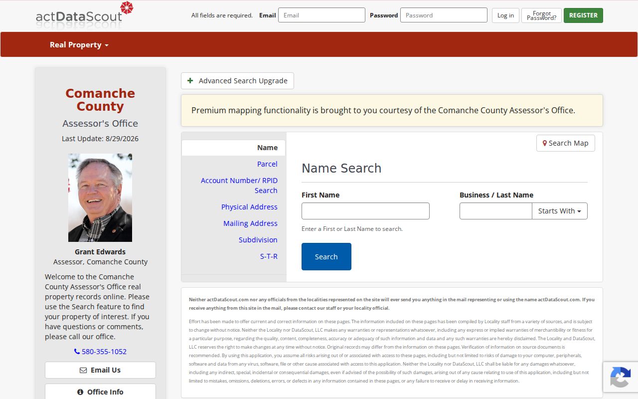
The captured screen documents the access route, not a verified ZIP-search form. The careful fallback is the Comanche County Assessor's counter at 315 SW 5th Street, Room 301, or the office phone at 580-355-1052, where a staff member can confirm current options.
| USPS address lookup | Exact-address verification is the intended use; no Lawton live result was captured in this research. |
|---|---|
| actDataScout property search | Owner and address search are advertised; ZIP controls and result fields were blocked from inspection. |
| OK Voter Portal | Requires a registered name and date of birth; it is not a ZIP browse. |
| Oklahoma SOR | Supports ZIP, radius, and map modes, but it is a distinct safety registry, not a general resident directory. |
Lawton ZIP Code Search Steps
A Lawton ZIP code can narrow the geography, but it does not create a verified list of people. Use a ZIP to confirm the delivery area, then select a record source that fits the specific question. The assessor's advertised owner and address search may help with an exact parcel, though it should not be described as a verified ZIP filter. The voter portal verifies an individual registered name with date of birth, not a ZIP-wide group. For the street-level path that starts after an exact address is known, use the Lawton directory by street.
- Check the full address in USPS ZIP Lookup and record the date of the result.
- Use the exact address, not just the ZIP, at the assessor route or counter for a parcel-related question.
- Carry the parcel identifier and legal description to the right county or city custodian when jurisdiction matters.
- Use the voter portal only for its named-person verification path, with the required registered name and date of birth.
- Keep a ZIP-specific safety registry search separate from ordinary address, parcel, or directory research.
Owner, mailing, and occupant information answer different questions. An owner mailing address is not proof that the owner lives at the property, and an area label does not establish who receives mail at a particular address.
Lawton ZIP Codes Are Routing
Postal service areas are designed for routing. City limits are legal boundaries. A parcel's legal description identifies land in the county record system. These categories often line up well enough for everyday mail, but they should not be used as substitutes for each other. A Lawton ZIP may serve a nearby unincorporated address, while a city-limit parcel may carry an installation, PO Box, or neighboring postal label. The City Clerk's corporate-boundaries map is the official public-inspection source for annexation and current city-boundary questions.
- ZIP code
- A Postal Service routing code for a delivery area. It is not a municipal-boundary description.
- ZIP+4
- An added four-digit delivery segment used with a ZIP code for more precise mail routing.
- PO Box ZIP
- A ZIP used for post-office boxes or alternate delivery, which may differ from the physical address's delivery ZIP.
- Carrier route
- A mail-delivery grouping used for routing. It does not establish parcel ownership or city jurisdiction.
Note: For a government-boundary question, retain the parcel's legal description and consult the City Clerk map instead of relying on a postal label.
Lawton ZIP Code Parcels and City Limits
A map can help orient a ZIP-level question, but it should be used to locate a parcel or city edge, not to infer a resident list. Lawton's GIS services provide public geographic context, while the assessor and County Clerk manage parcel, tax, and legal-description records. A property can be described by addition, block, and lot, or by quarter-section, township, range, and metes-and-bounds language. Carry both the postal address and the legal description when moving from an address lookup to land records.
Lawton's ArcGIS map landing area is a city-linked route for geographic context and map services.
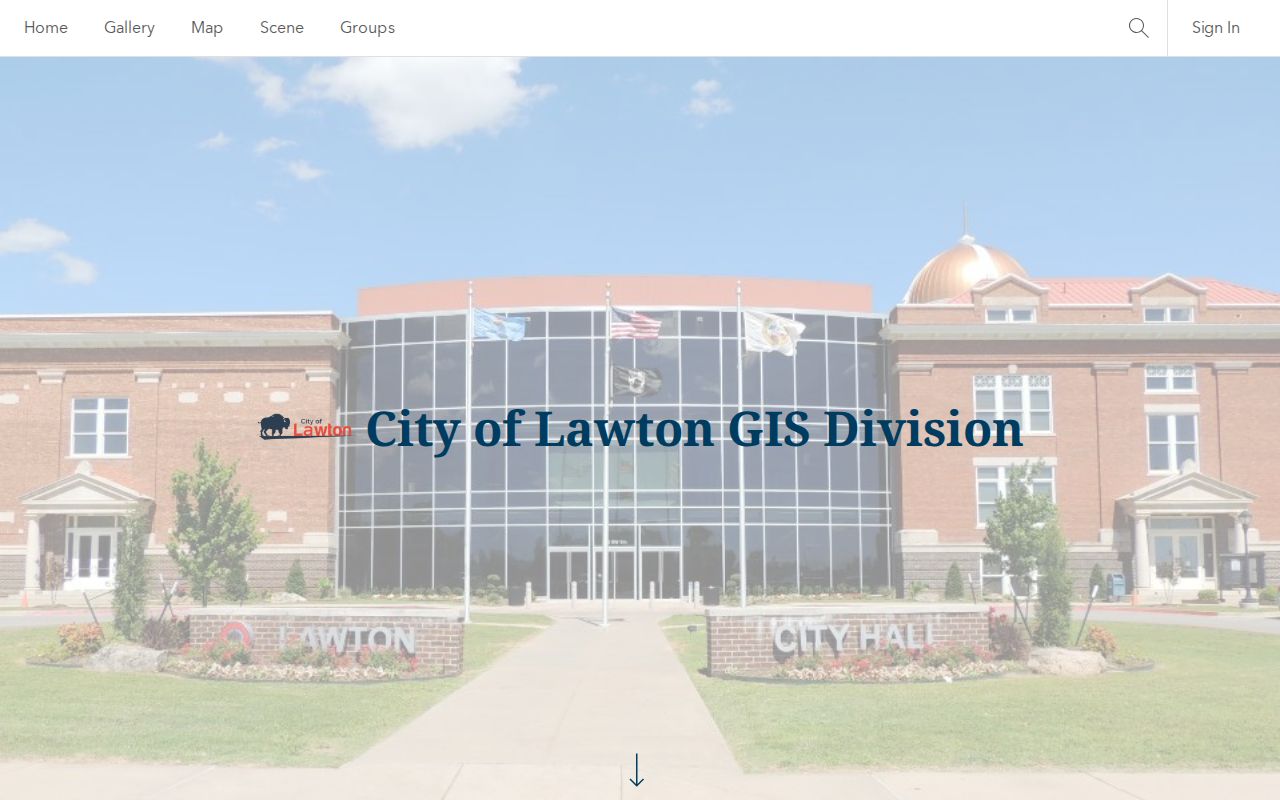
The screenshot is a starting point for map access, not proof of a particular parcel layer or search control. The actDataScout map's layer inventory was also blocked during inspection, so exact layers and adjacent-parcel controls should be confirmed in a live session or at the county office.
Lawton ZIP Registry Searches Differ
The Oklahoma Sex Offender Registry has a specific public-safety role and explicitly supports searches by ZIP code, radius, and map, along with other modes. That ZIP capability can be useful for the registry's own official purpose, but it does not make the registry a general directory or a substitute for parcel, postal, or voter records. Keep the result within the registry's scope and read its disclaimer. A ZIP search in one database cannot be assumed to work the same way in any other Lawton record source.
Oklahoma Sex Offender Registry provides its own search modes and limits. Do not combine its results with general directory research to target or harass anyone.
Lawton ZIP History Changes Labels
Historic records can carry a governmental label that differs from the current postal name. Lawton began as a 1901 townsite, and Comanche County's present boundaries followed the creation of Cotton County in 1912. The 1966 annexations and the 1998 Fort Sill annexation then changed municipal context again. An old directory may spell “Northwest” instead of “NW,” use a former landmark, or connect a place to an earlier county or city description. Search both exact and normalized forms, and test the result against a plat, map, or legal description.
| 1901 | Lawton's townsite begins, creating early records under a different local landscape. |
|---|---|
| 1912 | Comanche County's present boundaries follow the creation of Cotton County. |
| 1966 | Lawton expands through annexations on east, northeast, west, and northwest borders. |
| 1998 | Lawton annexes Fort Sill on June 23, adding another municipal and postal-context check. |
Lawton's city-history material documents the 1966 and 1998 annexation context. Postal codes remain useful labels, but the parcel and the official boundary record decide the jurisdiction.